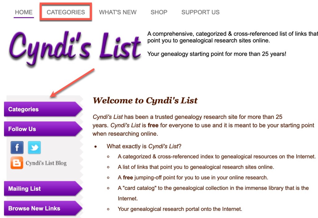
Last time we went “shopping” at Cyndi’s List with the topic of fur trading in mind. Let’s go about this a different way. My ancestors did not stay in one place forever. Eventually as you research, you will find that they came from somewhere. Once you figure out where that somewhere was, you’ll eventually encounter a place you know very little about. Let’s go to Cyndi’s List with a place in mind.
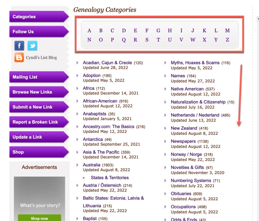
When you scroll through the categories on Cyndi’s list you will find places among the list. Here are a few screen captures of some of them:
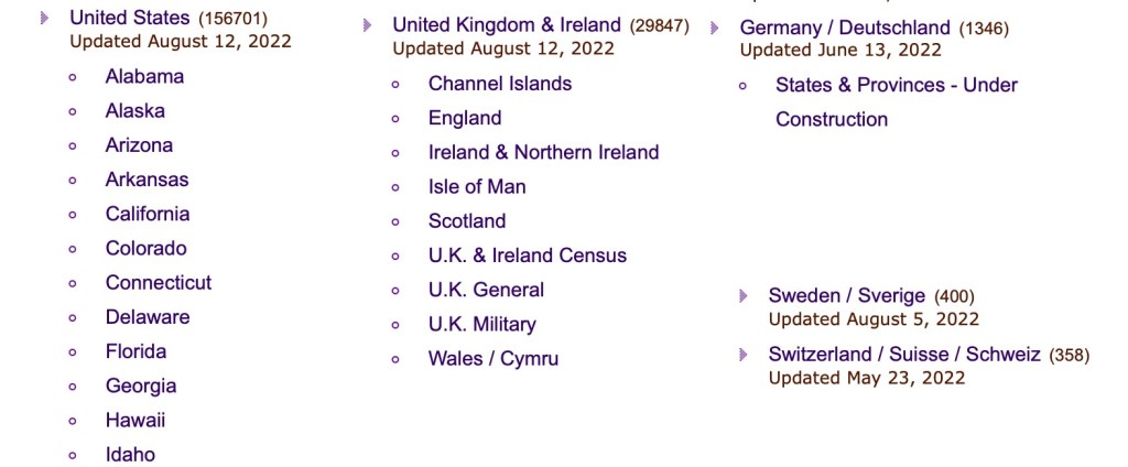
So, if you are looking for a particular state in the United States, you will find it under “U” fur “United States.” There’s also many other countries in the list, for example “United Kingdom & Ireland,” “Germany / Deutschland,” “Sweden/Sverige,” and “Switzerland/Suisse/Schweiz” just to name a few. When you encounter a new location in your research, head over to Cyndi’s List categories to find that location and see what you can learn.
I recently had some new work in Mexico. I have a very small amount of experience in Mexican records, primarily those that are near the Texas border. I wanted to know more and find resources that I probably didn’t know existed, so I headed over to Cyndi’s List.

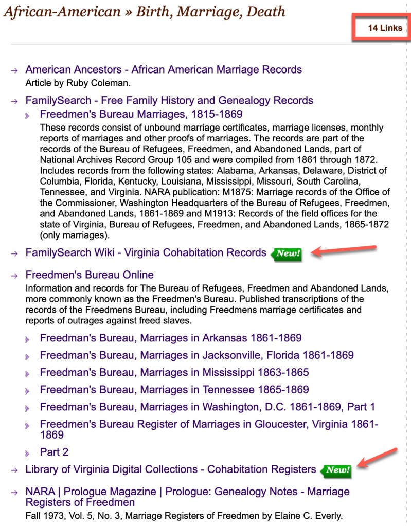
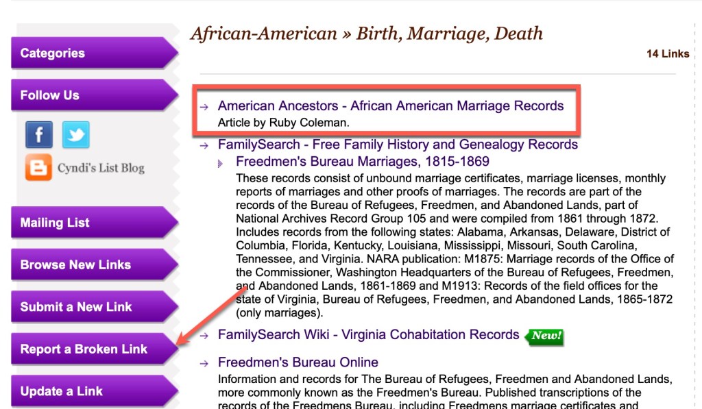
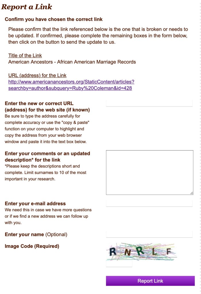
If you look at the Birth, Marriage, Death category, you will find that Cyndi has links directly to databases at Ancestry, FamilySearch, and other major websites. But there will also be other links in there as well. For this example, let’s look at the Newspapers sub-category.
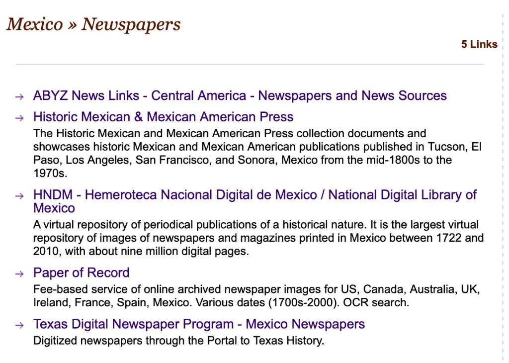
From looking at this subcategory I found a wonderful collection of digital newspapers at the National Digital Library of Mexico.

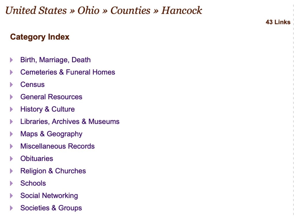
Let’s look at another place example. I have a lot of my personal research that is in northwestern Ohio, primarily Wood, Hancock, Lucas, and other counties in the area. Under each state there is a sub-category for Counties:


Let’s take a look at Hancock County.
You may notice that the subcategories are very similar if not the same across multiple categories. Let’s look at the Libraries, Archives & Museums category:

I have been to the Findlay-Hancock County Public Library. My dad used to live in Findlay for many years. His mother’s maternal side, the Urbans, were from Findlay. So I’ve visited that library many times to do research. However, I have never visited neither the Kaubisch Memorial Library nor the McComb Public Library and will have to do so on a future visit. I honestly did not know they existed and do not know if they might have additional information than I have been able to obtain from Findlay. If it weren’t for Cyndi’s List, I may have never known to look there.
So, think of the locations you are researching. It is very possible if not likely that Cyndi’s List has some hidden gems waiting for you in those categories and sub-categories. Go take a look.